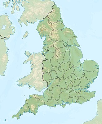
Modeło:Mapa de locałixasion/ENG

| ||||
| Nome | Inghiltera | |||
|---|---|---|---|---|
| Coordinae bordi | ||||
| 56 | ||||
| -6.75 | ←↕→ | 2 | ||
| 49.75 | ||||
| Sentro de ła mapa | ||||
| Imaxene | England location map.svg | |||
| Imaxene1 | England relief location map.jpg | |||

| ||||

| ||||
| Nome | Inghiltera | |||
|---|---|---|---|---|
| Coordinae bordi | ||||
| 56 | ||||
| -6.75 | ←↕→ | 2 | ||
| 49.75 | ||||
| Sentro de ła mapa | ||||
| Imaxene | England location map.svg | |||
| Imaxene1 | England relief location map.jpg | |||

| ||||