
File:Libya relief location map.jpg

Dimension de sta anteprima: 625 × 599 pixel. Altre risołusion: 250 × 240 pixel | 500 × 480 pixel | 801 × 768 pixel | 1 068 × 1 024 pixel | 1 617 × 1 551 pixel.
File orixenałe (1 617 × 1 551 pixel, dimension del file: 1,13 MB, tipo MIME: image/jpeg)
| Descrision |
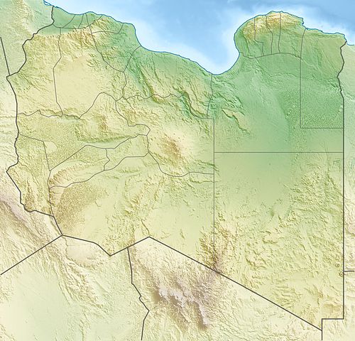
Deutsch: Physische Positionskarte von Libyen
Quadratische Plattkarte, N-S-Streckung 110 %. Geographische Begrenzung der Karte:
Equirectangular projection, N/S stretching 110 %. Geographic limits of the map:
|
| Data | |
| Provenjiensa | Opara propia, using map data from administrative map by NordNordWest. The relief was created from SRTM-30 relief data |
| Autore | Carport |
| Liçensa (Ridoparar sto file) |
Sto file el xe soto ła liçensa Creative Commons Atribusion-Spartisi in te ła stesa manjiera 3.0 Xenèrego.
|
| Altre version |
|

. قرامطة زوامل
Istoria del file
Schicia so on grupo data/or pa vedare el file come che el se presentava in tel momento indegà.
| Data/Ora | Miniadura | Dimension | Utente | Comento | |
|---|---|---|---|---|---|
| In ultima | 19:28, 9 maj 2011 | | 1 617 × 1 551 (1,13 MB) | Carport | right file... |
| 19:25, 9 maj 2011 |  | 1 617 × 1 551 (1,13 MB) | Carport | update | |
| 18:33, 11 mar 2010 |  | 1 617 × 1 551 (1,22 MB) | Carport | {{Information |Description={{de|Physische Positionskarte von {{w|Libyen|3=de}}}} Quadratische Plattkarte, N-S-Streckung 110 %. Geographische Begrenzung der Karte: * N: 33.4° N * S: 19.1° N * W: 9.1° O * O: 25.5° O {{en|Physical location map of {{w|Lib |
Doparasion del file
Ła pajina che vien ła dopara sto file:
Doparasion globałe del file
St'altre wiki cua le dopara sto file:
- Uxo de ar.wikipedia.org inte le pàjine
- Uxo de arz.wikipedia.org inte le pàjine
- Uxo de ast.wikipedia.org inte le pàjine
- Uxo de az.wikipedia.org inte le pàjine
- Uxo de ba.wikipedia.org inte le pàjine
- Uxo de be.wikipedia.org inte le pàjine
- Uxo de bg.wikipedia.org inte le pàjine
- Триполи
- Бенгази
- Сирт
- Сирт (залив)
- Таджура
- Тобрук
- Ал Азизия
- Дарна
- Бардия
- Ел Агейла
- Мурзук
- Шаблон:ПК Либия
- Лептис Магна
- Кирена
- Гадамес
- Ал Байда
- Адждабия
- Адири
- Налут
- Аубари
- Уау ан Намус
- Марса Брега
- Рас Лануф
- Бин Джауад
- Мисрата
- Зауия
- Хумс
- Сидер
- Сабха
- Бани Уалид
- Зинтан
- Дарияна (Либия)
- Тадрарт Акакус
- Газала
- Киренайка (плато)
Varda ła doparasion globałe de sto file.