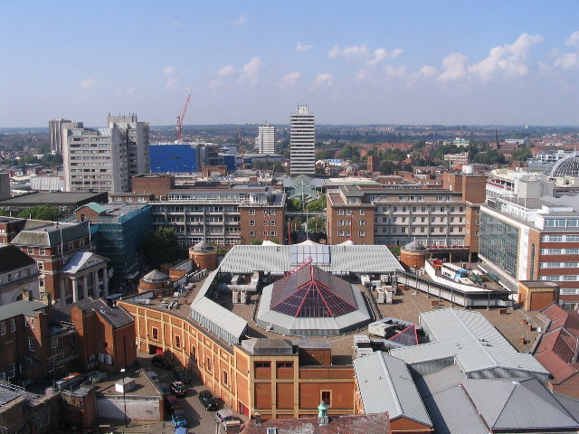
File:Broadgate and Precincts - geograph.org.uk - 554599.jpg
Broadgate_and_Precincts_-_geograph.org.uk_-_554599.jpg (640 × 480 pixel, dimension del file: 96 KB, tipo MIME: image/jpeg)
Istoria del file
Schicia so on grupo data/or pa vedare el file come che el se presentava in tel momento indegà.
| Data/Ora | Miniadura | Dimension | Utente | Comento | |
|---|---|---|---|---|---|
| In ultima | 04:26, 6 feb 2011 |  | 640 × 480 (96 KB) | GeographBot | == {{int:filedesc}} == {{Information |description={{en|1=Broadgate and Precincts Taken from the tower of the old cathedral church of St. Michael, looking westwards down the line of the Upper and Lower Precinct shopping areas towards Mercia House[1], the t |
Doparasion del file
Ła pajina che vien ła dopara sto file:
Doparasion globałe del file
St'altre wiki cua le dopara sto file:
- Uxo de af.wikipedia.org inte le pàjine
- Uxo de an.wikipedia.org inte le pàjine
- Uxo de ar.wikipedia.org inte le pàjine
- Uxo de arz.wikipedia.org inte le pàjine
- Uxo de ast.wikipedia.org inte le pàjine
- Uxo de azb.wikipedia.org inte le pàjine
- Uxo de az.wikipedia.org inte le pàjine
- Uxo de be-tarask.wikipedia.org inte le pàjine
- Uxo de be.wikipedia.org inte le pàjine
- Uxo de ca.wikipedia.org inte le pàjine
- Uxo de ceb.wikipedia.org inte le pàjine
- Uxo de cs.wikipedia.org inte le pàjine
- Uxo de cy.wikipedia.org inte le pàjine
- Uxo de da.wikipedia.org inte le pàjine
- Uxo de de.wikipedia.org inte le pàjine
- Uxo de de.wikivoyage.org inte le pàjine
- Uxo de diq.wikipedia.org inte le pàjine
- Uxo de el.wikipedia.org inte le pàjine
- Uxo de en.wikipedia.org inte le pàjine
- Uxo de en.wikivoyage.org inte le pàjine
- Uxo de eo.wikipedia.org inte le pàjine
- Uxo de es.wikipedia.org inte le pàjine
- Uxo de eu.wikipedia.org inte le pàjine
- Uxo de frr.wikipedia.org inte le pàjine
- Uxo de fr.wikipedia.org inte le pàjine
- Uxo de fr.wikivoyage.org inte le pàjine
- Uxo de fy.wikipedia.org inte le pàjine
- Uxo de ga.wikipedia.org inte le pàjine
- Uxo de gl.wikipedia.org inte le pàjine
- Uxo de he.wikivoyage.org inte le pàjine
- Uxo de hy.wikipedia.org inte le pàjine
- Uxo de ku.wikipedia.org inte le pàjine
- Uxo de lld.wikipedia.org inte le pàjine
- Uxo de lv.wikipedia.org inte le pàjine
- Uxo de mdf.wikipedia.org inte le pàjine
- Uxo de mzn.wikipedia.org inte le pàjine
- Uxo de nn.wikipedia.org inte le pàjine
- Uxo de no.wikipedia.org inte le pàjine
- Uxo de os.wikipedia.org inte le pàjine
- Uxo de pl.wikipedia.org inte le pàjine
- Uxo de pl.wikivoyage.org inte le pàjine
- Uxo de pnb.wikipedia.org inte le pàjine
- Uxo de ro.wikipedia.org inte le pàjine
- Uxo de ru.wikinews.org inte le pàjine
Varda ła doparasion globałe de sto file.


