
File:United Kingdom relief location map.png
Dimension de sta anteprima: 388 × 600 pixel. Altre risołusion: 155 × 240 pixel | 310 × 480 pixel | 497 × 768 pixel | 662 × 1 024 pixel | 1 500 × 2 318 pixel.
File orixenałe (1 500 × 2 318 pixel, dimension del file: 2,76 MB, tipo MIME: image/png)
| Descrision |
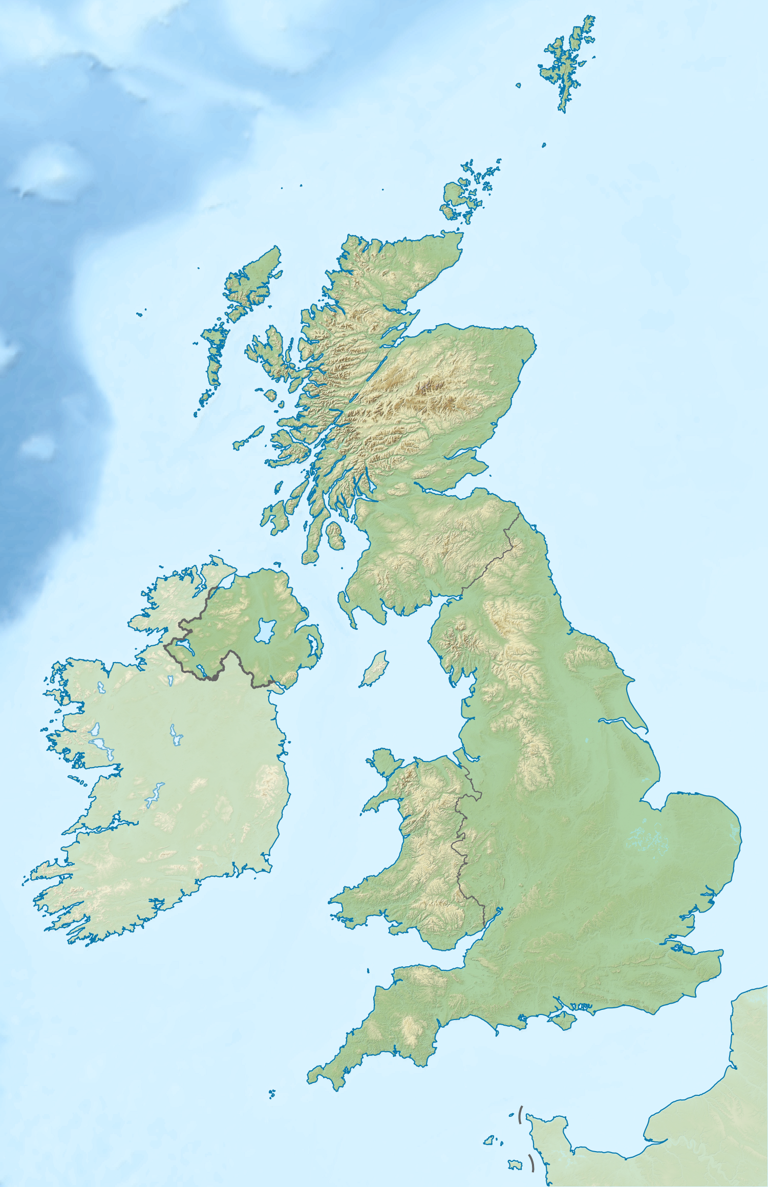
Relief map of the United Kingdom Equirectangular map projection on WGS 84 datum, with N/S stretched 170% Geographic limits:
|
| Data | |
| Provenjiensa |
Shuttle Radar Topography Mission
National Geospatial-Intelligence Agency
|
| Autore | Nilfanion |
| Liçensa (Ridoparar sto file) |
Sto file el xe soto ła liçensa Creative Commons Atribusion-Spartisi in te ła stesa manjiera 3.0 Xenèrego. Atribusion: Contains Ordnance Survey data © Crown copyright and database right 2012
|
| Altre version | Derivative works of this file: 2012 Summer Olympics torch relay map.svg |
Istoria del file
Schicia so on grupo data/or pa vedare el file come che el se presentava in tel momento indegà.
| Data/Ora | Miniadura | Dimension | Utente | Comento | |
|---|---|---|---|---|---|
| In ultima | 00:39, 16 avr 2012 | | 1 500 × 2 318 (2,76 MB) | Nilfanion | {{Information |Description=Relief map of the United Kingdom Equirectangular map projection on WGS 84 datum, with N/S stretched 170% Geographic limits: *West: 11.0° W *East: 2.2° E *North: 61.0° N *South: 49.0° N |Source=[[w:O... |
Doparasion del file
Ła pajina che vien ła dopara sto file:
Doparasion globałe del file
St'altre wiki cua le dopara sto file:
- Uxo de fr.wikipedia.org inte le pàjine
- Uxo de no.wikipedia.org inte le pàjine