
File:Germany location map.svg

File orixenałe (file en formato SVG, dimension nominałi 1 073 × 1 272 pixel, dimension del file: 452 KB)
Somario
| Descrision |
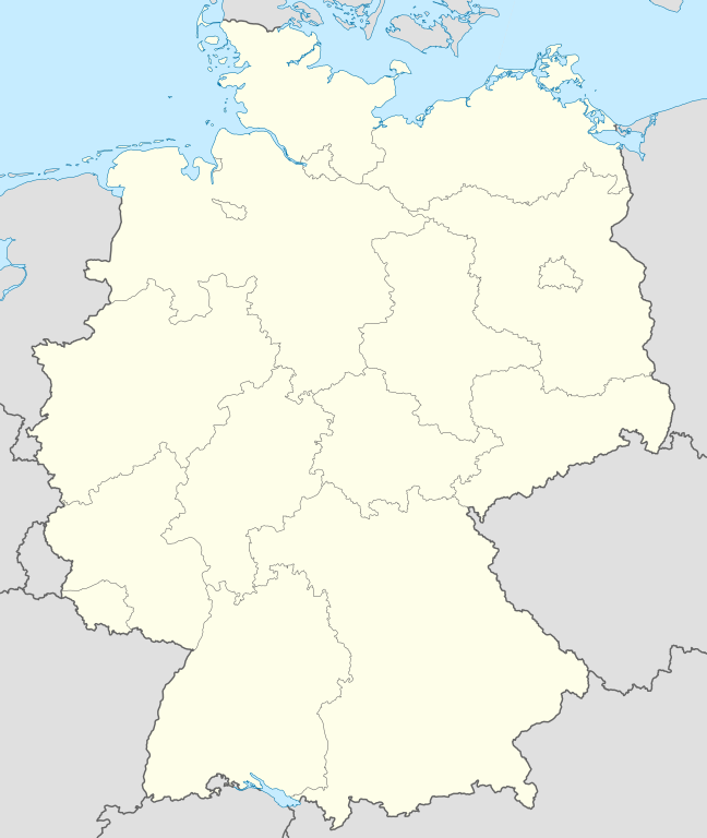
Quadratische Plattkarte, N-S-Streckung 150 %. Geographische Begrenzung der Karte:
Equirectangular projection, N/S stretching 150 %. Geographic limits of the map:
Français : Carte de l'Allemagne |
||
| Data | |||
| Provenjiensa | Opara propia, using United States National Imagery and Mapping Agency data | ||
| Autore | NordNordWest | ||
| Altre version |
Derivative works of this file:
Bundesrepublik Deutschland (vor 1990 nur West-Deutschland):
Deutsche Demokratische Republik (mit BRD im Ausschnitt):
Ostdeutschland (vor 1990 Deutsche Demokratische Republik):
Deutschland zwischen Mai 1945 und Oktober 1949:
Thematisch:
Deutsches Reich (1918–1945) (best used with this template (de)):
|
||
| SVG sviluppo | Il codice sorgente di questo file SVG non è valido a causa di 9 errori. Questa mappa in grafica vettoriale non valida secondo il W3C è stata creata con Adobe Illustrator.
|


_23_May_1949_-_6_Oct_1949.svg)


_location_map.svg)
_location_map_2013.svg)


_location_map.svg)
Licensa de doparasion:

|
Se autorixa ła copia, distribusion y modifegasion de sto documento soto i termani de ła liçensa de documentasion libara GNU, version 1.2 o calsiasi altra version dopo, publegada da ła Fonsasion par el Software Libaro; sensa sesion invariabiłi, testi de coertina e njianca testi de contro-coertina. Se include na copia de ła pena dita liçensa in te ła sesion intitołada Liçensa de Documentasion Libara GNU. |
- Te si libaro:
- de spartire in jiro – de copiar, distribuir e trasmétar sta opera
- de modifegar – de adatar sta opera
- Soto le seguenti condision:
- atribussion – Te ghe da atribuir ƚa paternità de ƚ'opera ne i modi indicà de l'autor o da chi te gà dà l'opera en lisensa, e en modo tale da no sugerir che lori i sia d'acordo con ti o col modo che te dòpari l'opera.
- spartisi in te ła stesa manjiera – Se te mis-ci, trasformi o dexviłupi sto laoro, te ghè da spartire łe to contribusion segondo ła stesa liçensa o na conpatibiłe a l'orixenałe.
Istoria del file
Schicia so on grupo data/or pa vedare el file come che el se presentava in tel momento indegà.
| Data/Ora | Miniadura | Dimension | Utente | Comento | |
|---|---|---|---|---|---|
| In ultima | 14:51, 16 set 2013 | | 1 073 × 1 272 (452 KB) | SokoWiki | Clearer borders. |
| 10:34, 16 set 2013 |  | 1 073 × 1 272 (452 KB) | NordNordWest | Reverted to version as of 12:32, 2 October 2012; didn't make anything better | |
| 10:34, 16 set 2013 |  | 1 073 × 1 272 (452 KB) | NordNordWest | Reverted to version as of 12:32, 2 October 2012; didn't make anything better | |
| 22:08, 15 set 2013 |  | 1 073 × 1 272 (451 KB) | SokoWiki | * | |
| 14:32, 2 oto 2012 |  | 1 073 × 1 272 (452 KB) | Palosirkka | Reverted to version as of 20:14, 5 August 2012 Location maps must remain very accurate | |
| 07:40, 2 oto 2012 |  | 1 073 × 1 272 (396 KB) | Palosirkka | Scrubbed with http://codedread.com/scour/ | |
| 22:14, 5 ago 2012 |  | 1 073 × 1 272 (452 KB) | NordNordWest | upd | |
| 12:03, 19 zen 2010 |  | 1 073 × 1 272 (490 KB) | NordNordWest | update | |
| 10:33, 22 luj 2009 |  | 1 075 × 1 273 (608 KB) | NordNordWest | c | |
| 16:36, 13 oto 2008 |  | 1 075 × 1 273 (606 KB) | NordNordWest |
Doparasion del file
Łe che vien 2 pajine, łe dopara sto file:
Doparasion globałe del file
St'altre wiki cua le dopara sto file:
- Uxo de af.wikipedia.org inte le pàjine
- Uxo de als.wikipedia.org inte le pàjine
- Weil der Stadt
- Schopfheim
- Rheinfelden (Baden)
- Rümmingen
- Lörrach
- Kehl
- Steinen (Baden)
- Weil am Rhein
- Bad Säckingen
- Freiburg im Breisgau
- Schwörstadt
- Augsburg
- Zell im Wiesental
- Maulburg
- Offenburg
- Ötigheim
- Hamburg
- Renchen
- Konstanz
- Furtwangen im Schwarzwald
- Görwihl
- Ebringen
- Müllheim im Markgräflerland
- Pfaffenweiler
- Calw
- Au (Breisgau)
- Merzhausen
- Sölden (Schwarzwald)
- Schallstadt
- Bollschweil
- Ehrenkirchen
- Wittnau (Breisgau)
- Vörstetten
- Achern
- Wehr (Baden)
- Vogtsburg im Kaiserstuhl
Varda ła doparasion globałe de sto file.