
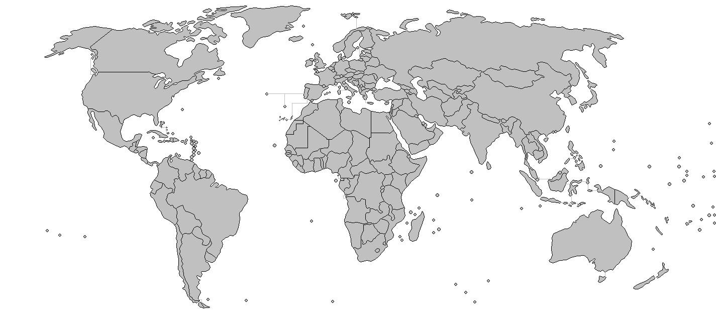
File:BlankMap-World-v7-Borders.png
Dimension de sta anteprima: 800 × 351 pixel. Altre risołusion: 320 × 140 pixel | 640 × 281 pixel | 1 425 × 625 pixel.
File orixenałe (1 425 × 625 pixel, dimension del file: 45 KB, tipo MIME: image/png)
Jkkkkiu8t7fuffu
Somario
| Descrision | Added borders to the existing world map. | ||||||||
| Data | (UTC) | ||||||||
| Provenjiensa | Modified BlankMlap-World-v7.png to create image | ||||||||
| Autore | Wiz9999 | ||||||||
| Liçensa (Ridoparar sto file) |
|
||||||||
| Altre version |
Derivative works of this file: VerbreitungDänisch.png Image:BlankMap-World-v7.png |

Istoria del file
Schicia so on grupo data/or pa vedare el file come che el se presentava in tel momento indegà.
| Data/Ora | Miniadura | Dimension | Utente | Comento | |
|---|---|---|---|---|---|
| In ultima | 01:30, 8 mar 2018 | | 1 425 × 625 (45 KB) | Maphobbyist | South Sudan border |
| 02:11, 27 mar 2009 |  | 1 425 × 625 (55 KB) | Eynar | Reverted to version as of 15:33, 7 March 2009 | |
| 00:25, 21 mar 2009 |  | 1 425 × 625 (54 KB) | Avala | Reverted to version as of 07:01, 5 November 2007 (original version by uploader) | |
| 17:33, 7 mar 2009 |  | 1 425 × 625 (55 KB) | Cradel | Reverted to version as of 11:09, 13 November 2008 | |
| 03:06, 20 nov 2008 |  | 1 425 × 625 (54 KB) | Tocino | Reverted to version as of 13:36, 4 August 2008 | |
| 13:09, 13 nov 2008 |  | 1 425 × 625 (55 KB) | Eynar | Reverted to version as of 14:46, 31 July 2008 (This map is supposed to be a copy of Image:BlankMap-World-v7.png, but with borders; which is supposed to include overseas territories and dependencies, such as Azores, Madeira and Canary Islands) | |
| 15:36, 4 ago 2008 |  | 1 425 × 625 (54 KB) | Avala | ||
| 16:46, 31 luj 2008 |  | 1 425 × 625 (55 KB) | Avala | ||
| 10:02, 7 luj 2008 |  | 1 425 × 625 (55 KB) | Eynar | Fixed connecting pixel between Argentina and Chile. Added Canary Islands, Madeira and Azores (Canary Islands have a total area of 7447 km2, so I put their shape instead of a dot). | |
| 10:01, 7 luj 2008 |  | 1 425 × 625 (55 KB) | Eynar | Fixed connecting pixel between Argentina and Chile. Added Canary Islands, Madeira and Azores (Canary Islands have a total area of 7447 km2, so I put their shape instead of a dot). |
Doparasion del file
Nisuna pajina ła dopara sto file
Doparasion globałe del file
St'altre wiki cua le dopara sto file:
- Uxo de de.wikipedia.org inte le pàjine