
File:Saxony relief location map.jpg

Dimension de sta anteprima: 800 × 583 pixel. Altre risołusion: 320 × 233 pixel | 640 × 467 pixel | 1 024 × 747 pixel | 1 280 × 933 pixel | 1 838 × 1 340 pixel.
File orixenałe (1 838 × 1 340 pixel, dimension del file: 901 KB, tipo MIME: image/jpeg)
Somario
| Descrision |
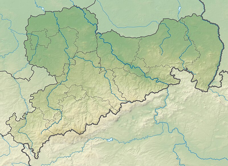
Deutsch: Physische Positionskarte Sachsen, Deutschland. Geographische Begrenzung der Karte:
English: Physical Location map Saxony, Germany. Geographic limits of the map:
|
| Data | |
| Provenjiensa |
Opara propia |
| Autore | Grundkarte TUBS, Relief Alexrk2 |
| Altre version |
|

Licensa de doparasion:
Mi, che detegno el dirito d'autor su sta opera, la pùblico qua soto le seguenti license:

|
Se autorixa ła copia, distribusion y modifegasion de sto documento soto i termani de ła liçensa de documentasion libara GNU, version 1.2 o calsiasi altra version dopo, publegada da ła Fonsasion par el Software Libaro; sensa sesion invariabiłi, testi de coertina e njianca testi de contro-coertina. Se include na copia de ła pena dita liçensa in te ła sesion intitołada Liçensa de Documentasion Libara GNU. |
Sto file el xe soto la licenza Creative Commons Atribuzion-Condividi alo stesso modo 3.0 Unported, 2.5 Generico, 2.0 Generico e 1.0 Generico
- Te si libaro:
- de spartire in jiro – de copiar, distribuir e trasmétar sta opera
- de modifegar – de adatar sta opera
- Soto le seguenti condision:
- atribussion – Te ghe da atribuir ƚa paternità de ƚ'opera ne i modi indicà de l'autor o da chi te gà dà l'opera en lisensa, e en modo tale da no sugerir che lori i sia d'acordo con ti o col modo che te dòpari l'opera.
- spartisi in te ła stesa manjiera – Se te mis-ci, trasformi o dexviłupi sto laoro, te ghè da spartire łe to contribusion segondo ła stesa liçensa o na conpatibiłe a l'orixenałe.
Te połi segnare ła liçensa che te prefarisi
Istoria del file
Schicia so on grupo data/or pa vedare el file come che el se presentava in tel momento indegà.
| Data/Ora | Miniadura | Dimension | Utente | Comento | |
|---|---|---|---|---|---|
| In ultima | 22:36, 23 oto 2009 | | 1 838 × 1 340 (901 KB) | Alexrk2 | == {{int:filedesc}} == {{Information |Description= {{de|Physische Positionskarte Sachsen, Deutschland. Geographische Begrenzung der Karte:}} {{en|Physical Location map Saxony, Germany. Geographic limits of the map:}} * N: |
Doparasion del file
Nisuna pajina ła dopara sto file
Doparasion globałe del file
St'altre wiki cua le dopara sto file:
- Uxo de ar.wikipedia.org inte le pàjine
- Uxo de az.wikipedia.org inte le pàjine
- Uxo de ba.wikipedia.org inte le pàjine
- Uxo de be.wikipedia.org inte le pàjine
- Uxo de bg.wikipedia.org inte le pàjine
- Лайпциг
- Дрезден
- Кемниц
- Цвикау
- Шлайфе
- Бауцен
- Гросботен
- Росвайн
- Валдхайм
- Делич
- Митвайда
- Ратен
- Гьорлиц
- Майсен
- Плауен
- Шаблон:ПК Германия Саксония
- Клингентал
- Лайпцигски университет
- Бад Мускау
- Бернщат на Айген
- Еберсбах-Нойгерсдорф
- Хернхут
- Льобау
- Нойзалца-Шпремберг
- Ниски
- Остриц
- Райхенбах (Горна Лужица)
- Ротенбург (Горна Лужица)
- Зайфхенерсдорф
- Вайсвасер
- Цитау
- Бернсдорф (окръг Бауцен)
- Бишофсверда
- Елстра
- Каменц
- Гросрьорсдорф
- Хойерсверда
- Кьонигсбрюк
- Лаута
- Пулшниц
- Радеберг
- Ширгисвалде-Киршау
- Вайсенберг
- Вилтен
- Витихенау
Varda ła doparasion globałe de sto file.